
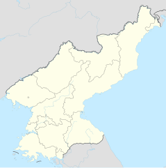
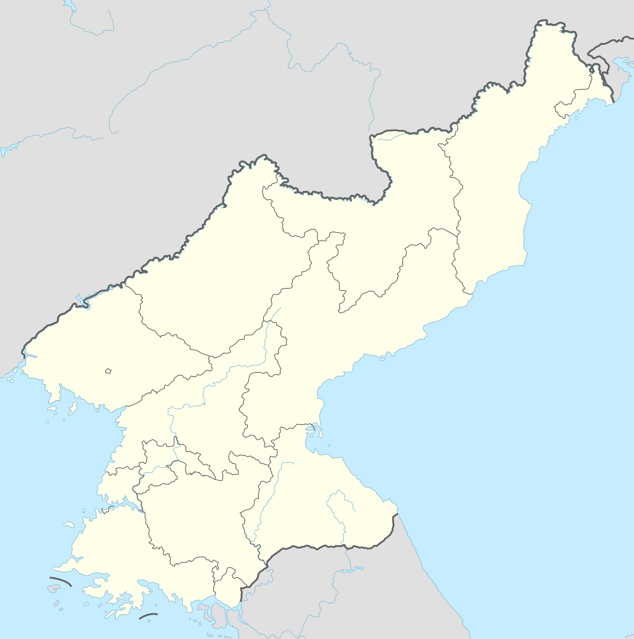
檔案:North Korea adm location map.svg

Ngièn-pún tóng-on (SVG文件,尺寸:1,606×1,616像素,文件大細:264 KB)
Vùn-khien sot-mìn
| Mèu-sut |
Deutsch: Positionskarte von Nordkorea
English: Location map of North Korea
|
||||||||||||
| Ngit-khì | |||||||||||||
| Lòi-ngièn |
個人作品,使用:
|
||||||||||||
| Chok-chá | NordNordWest | ||||||||||||

|
|
Su-khièn
Usage of this file with:

explanatory notes: Legally binding is only the full legalcode. For a free usage I recommend to respect the following licence conditions:
1. Provide my name as given above: NordNordWest,
2. a copy of, or the URI for, the applicable license: https://creativecommons.org/licenses/by-sa/3.0/de/legalcode,
3. the title of the work,
4. in the case of an adaptation, a credit identifying the use of the work in the adaptation.
This license and the rights granted hereunder will terminate automatically upon any breach by you of the terms of this license. Any of the above conditions can be waived if you get permission from the copyright holder. If you have questions or wish differing conditions, please contact me through nnwest or my discussion page ![]() t-online.de
t-online.de
- Ngì cho-tet chhṳ-yù:
- fûn-hióng – fu̍k-chṳ, fat-pu lâu chhòn-pô pún chok-phín
- chhùng-sîn siû-kói – chhóng-chok yên-yi̍t chok-phín
- 惟需遵照下列條件:
- 姓名標示 – 您必須指名出正確的製作者,和提供授權條款的連結,以及表示是否有對內容上做出變更。您可以用任何合理的方式來行動,但不得以任何方式表明授權條款是對您許可或是由您所使用。
- siông-thùng fông-sṳt fûn-hióng – 如果您利用本素材進行再混合、轉換或創作,您必須基於如同原先的相同或兼容的條款,來分布您的貢獻成品。

Vùn-khien li̍t-sṳ́
Tiám-khim ngit-khì / sṳ̀-kiên lòi chhà-khon tông-sṳ̀ chhut-hien-ko ke vùn-khien.
| Ngit khì / Sṳ̀-kiên | Suk-lio̍k-thù | Vì-thu | Yung-fu | Yi-kien | |
|---|---|---|---|---|---|
| tông-chhièn | 2022年12月1日 (Si) 20:40 | | 1,606 × 1,616(264 KB) | NordNordWest | corr |
| 2015年9月11日 (Ńg) 17:06 |  | 1,606 × 1,616(275 KB) | NordNordWest | corr | |
| 2015年9月9日 (Sâm) 10:47 |  | 1,606 × 1,616(275 KB) | NordNordWest | corr | |
| 2015年9月9日 (Sâm) 10:36 |  | 1,606 × 1,616(276 KB) | NordNordWest | == {{int:filedesc}} == {{Information |Description= {{de|1=Positionskarte von Nordkorea}} {{en|1=Location map of North Korea}} {{Location map series N |stretching=120 |top=43.2 |bottom=37.5 |left=124.1 |right=130.9 }} |Source={{Own using}} * United Stat... |
Vùn-khien yung-chhú
Hâ poi ke 5-chak ya̍p-mien lièn-chiap to pún vùn-khien:
Chhiòn-vet tóng-on sṳ́-yung chhong-khóng
Hâ-lie̍t khì-thâ Wiki chûng sṳ́-yung liá-chak tóng on:
- af.wikipedia.org ke sṳ́-yung chhong-khóng
- als.wikipedia.org ke sṳ́-yung chhong-khóng
- an.wikipedia.org ke sṳ́-yung chhong-khóng
- ar.wikipedia.org ke sṳ́-yung chhong-khóng
- az.wikipedia.org ke sṳ́-yung chhong-khóng
- ba.wikipedia.org ke sṳ́-yung chhong-khóng
- bcl.wikipedia.org ke sṳ́-yung chhong-khóng
- be-tarask.wikipedia.org ke sṳ́-yung chhong-khóng
- be.wikipedia.org ke sṳ́-yung chhong-khóng
- bg.wikipedia.org ke sṳ́-yung chhong-khóng
- bn.wikipedia.org ke sṳ́-yung chhong-khóng
- bs.wikipedia.org ke sṳ́-yung chhong-khóng
- ca.wikipedia.org ke sṳ́-yung chhong-khóng
- cdo.wikipedia.org ke sṳ́-yung chhong-khóng
Kiám-sṳ liá vùn-khien ke kiên-tô chhiòn-vet sṳ́-yung chhong-khóng.