
檔案:Solmsschlösschen Wiesbaden.jpg
Ngièn-pún tóng-on (1,920 × 1,533 chhiong-su, vùn-khien thai-séu: 1.72 MB, MIME lui-hîn: image/jpeg)
Vùn-khien sot-mìn
| Mèu-sut |
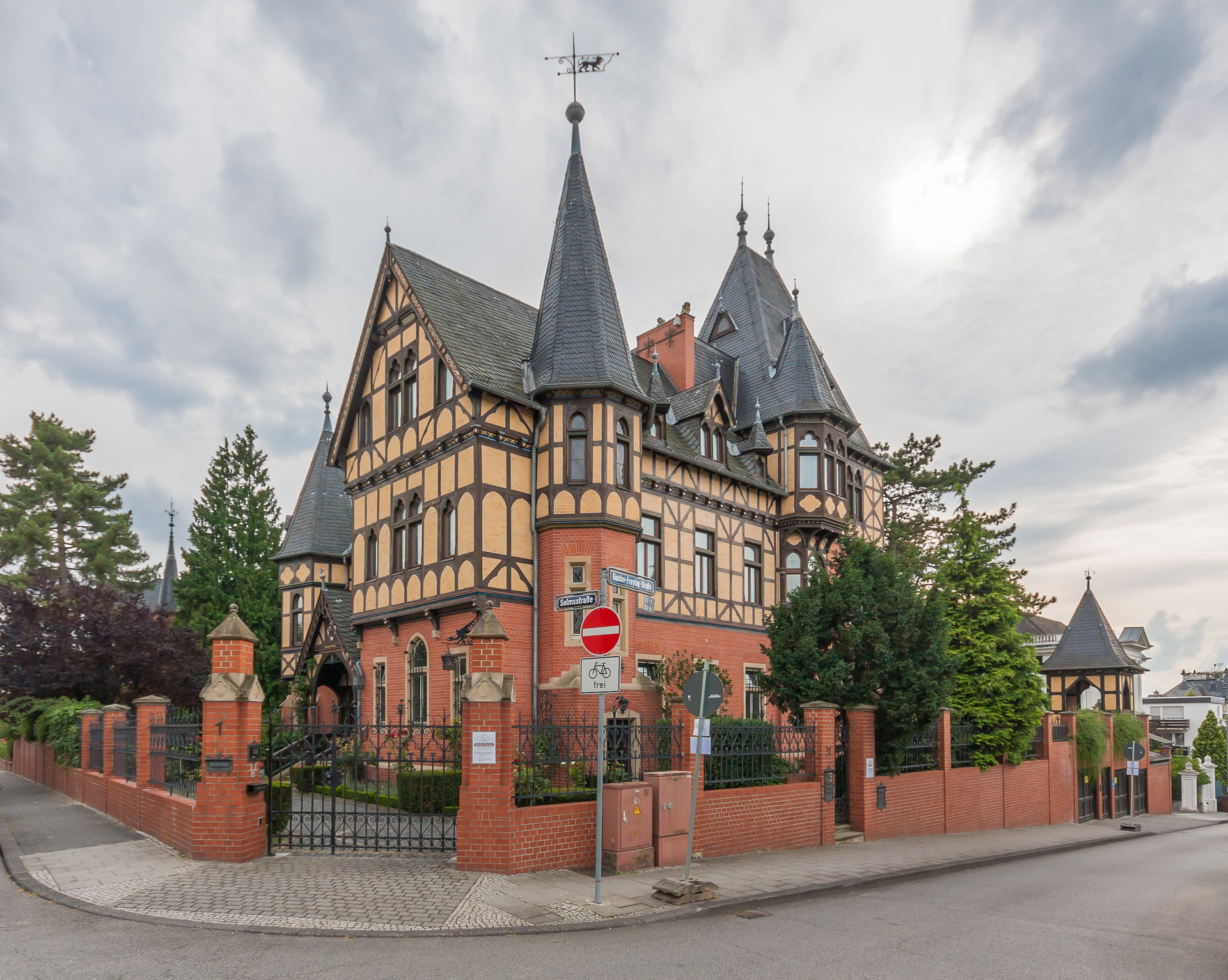
English: Das 1890 bis 1892 erbaute The "Solmsschlösschen" in Wiesbaden has been built between 1890 and 1892 这张照片是一个纪念性建筑物。 它列于Hessen文物古迹名单中,其编号是:0 |
| Ngit-khì | |
| Lòi-ngièn | Chhṳ-kâ ke chok-phín |
| Chok-chá | Martin Kraft |
| Khièn-han: (Chhùng-yung liá-chak tóng-on) |
Reusing this image License: CC BY-SA 3.0 via Wikimedia Commons This image was published by Martin Kraft under the free license CC BY-SA 3.0, which also allows the usage outside of Wikipedia under the following conditions:
Please send me a specimen copy or the URL of the website where the image is used. The Online Attribution Generator offers a good tool to generate an attribution sufficient for your use case. Feel free to contact me via eMail photo@martinkraft.com or visit my website photo.martinkraft.com for any questions or in case you need...
Only the terms and conditions mentioned above authorize the free use of this image. Any infringement causes a copyright violation, that may result in a penalty fee of five times the fee suggested by the MFM, inter alia. |
| 拍攝地點 | | 位於此地的本圖片與其他圖片: OpenStreetMap |
|---|
Su-khièn
- Ngì cho-tet chhṳ-yù:
- fûn-hióng – fu̍k-chṳ, fat-pu lâu chhòn-pô pún chok-phín
- chhùng-sîn siû-kói – chhóng-chok yên-yi̍t chok-phín
- 惟需遵照下列條件:
- 姓名標示 – 您必須指名出正確的製作者,和提供授權條款的連結,以及表示是否有對內容上做出變更。您可以用任何合理的方式來行動,但不得以任何方式表明授權條款是對您許可或是由您所使用。
- siông-thùng fông-sṳt fûn-hióng – 如果您利用本素材進行再混合、轉換或創作,您必須基於如同原先的相同或兼容的條款,來分布您的貢獻成品。

|
這張圖片屬於維基愛古蹟2012古蹟攝影比賽上傳的圖片。
|
Vùn-khien li̍t-sṳ́
Tiám-khim ngit-khì / sṳ̀-kiên lòi chhà-khon tông-sṳ̀ chhut-hien-ko ke vùn-khien.
| Ngit khì / Sṳ̀-kiên | Suk-lio̍k-thù | Vì-thu | Yung-fu | Yi-kien | |
|---|---|---|---|---|---|
| tông-chhièn | 2012年9月30日 (Ngit) 12:39 | | 1,920 × 1,533(1.72 MB) | Martin Kraft | User created page with UploadWizard |
Vùn-khien yung-chhú
Mò ya̍p-mien lièn-chiap to pún vùn-khien.
Chhiòn-vet tóng-on sṳ́-yung chhong-khóng
Hâ-lie̍t khì-thâ Wiki chûng sṳ́-yung liá-chak tóng on:
- de.wikipedia.org ke sṳ́-yung chhong-khóng
- de.wikivoyage.org ke sṳ́-yung chhong-khóng
- www.wikidata.org ke sṳ́-yung chhong-khóng