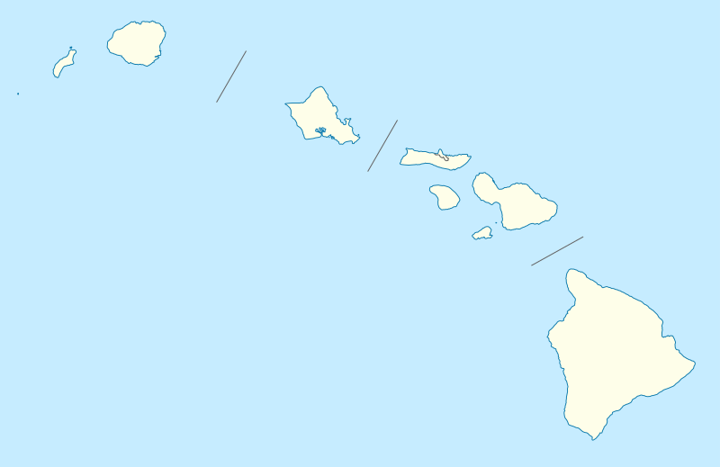
檔案:USA Hawaii location map.svg
外觀

此 SVG 檔案的 PNG 預覽的大小:800 × 519 chhiong-su。 Khì-thâ kié-sak-thu: 320 × 208 chhiong-su | 640 × 415 chhiong-su | 1,024 × 664 chhiong-su | 1,280 × 831 chhiong-su | 2,560 × 1,661 chhiong-su | 1,441 × 935 chhiong-su.
Ngièn-pún tóng-on (SVG文件,尺寸:1,441×935像素,文件大細:31 KB)
Vùn-khien li̍t-sṳ́
Tiám-khim ngit-khì / sṳ̀-kiên lòi chhà-khon tông-sṳ̀ chhut-hien-ko ke vùn-khien.
| Ngit khì / Sṳ̀-kiên | Suk-lio̍k-thù | Vì-thu | Yung-fu | Yi-kien | |
|---|---|---|---|---|---|
| tông-chhièn | 2009年6月13日 (Liuk) 18:36 |  | 1,441 × 935(31 KB) | NordNordWest | {{Information |Description= {{de|Positionskarte von Hawaii, USA}} Quadratische Plattkarte, N-S-Streckung 107 %. Geographische Begrenzung der Karte: * N: 22.4° N * S: 18.7° N * W: 160.7° W * O: 154.6° W {{en|Location map of [ |
Vùn-khien yung-chhú
Mò ya̍p-mien lièn-chiap to pún vùn-khien.
Chhiòn-vet tóng-on sṳ́-yung chhong-khóng
Hâ-lie̍t khì-thâ Wiki chûng sṳ́-yung liá-chak tóng on:
- af.wikipedia.org ke sṳ́-yung chhong-khóng
- an.wikipedia.org ke sṳ́-yung chhong-khóng
- ar.wikipedia.org ke sṳ́-yung chhong-khóng
- ast.wikipedia.org ke sṳ́-yung chhong-khóng
- Archipiélagu de Ḥawai
- Honolulu
- Sablera Lanikai
- Oahu
- Waikiki
- Haleakala
- Mauna Loa
- Observatorios de Mauna Kea
- Cadena de montes somarinos Ḥawai-Emperador
- Mauna Kea
- Pearl Harbor
- Módulu:Mapa de llocalización/datos/Ḥawai
- Módulu:Mapa de llocalización/datos/Ḥawai/usu
- Kilauea
- Wheeler Army Airfield
- Niihau
- Diamond Head (Ḥawai)
- azb.wikipedia.org ke sṳ́-yung chhong-khóng
- کاهیلوئی، هاوایی
- منیل هاوایی
- وایوآینیو، هاوایی
- دیسکاوری هاربور، هاوایی
- ماهیناهینا، هاوایی
- هواولیهوا، هاوایی
- هایکو، هاوایی
- هوناناو، هاوایی
- کینی، هاوایی
- هیلهوماها، هاوایی
- وایکله، هاوایی
- لانیوپوکو، هاوایی
- میلیلانی ماکا، هاوایی
- وست لاک استیتس، هاوایی
- نīنول، هاوایی
- پاوهاو، هاوایی
- پāپاʻالوا، هاوایی
- ʻوالاپوʻ، هاوایی
- وولکانو، هاوایی
- هیلو، هاوایی
- ایشوفیلد باراکس
- کایلوا-کونا، هاوایی
- کاپولئی، هاوایی
- کیلیا، هاوایی
Kiám-sṳ liá vùn-khien ke kiên-tô chhiòn-vet sṳ́-yung chhong-khóng.


