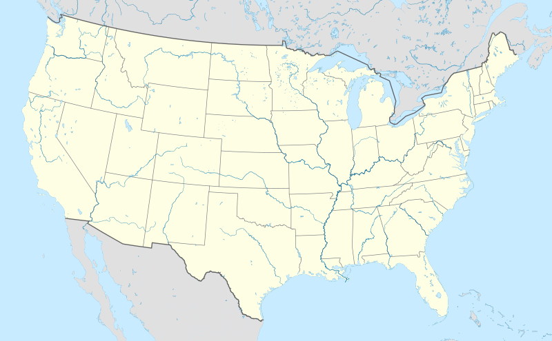
檔案:Usa edcp location map.svg
外觀

此 SVG 檔案的 PNG 預覽的大小:800 × 495 chhiong-su。 Khì-thâ kié-sak-thu: 320 × 198 chhiong-su | 640 × 396 chhiong-su | 1,024 × 634 chhiong-su | 1,280 × 792 chhiong-su | 2,560 × 1,585 chhiong-su | 1,181 × 731 chhiong-su.
Ngièn-pún tóng-on (SVG文件,尺寸:1,181×731像素,文件大細:2.03 MB)
Vùn-khien li̍t-sṳ́
Tiám-khim ngit-khì / sṳ̀-kiên lòi chhà-khon tông-sṳ̀ chhut-hien-ko ke vùn-khien.
| Ngit khì / Sṳ̀-kiên | Suk-lio̍k-thù | Vì-thu | Yung-fu | Yi-kien | |
|---|---|---|---|---|---|
| tông-chhièn | 2024年4月2日 (Ngi) 20:48 |  | 1,181 × 731(2.03 MB) | Spesh531 | correction to Rhode Island border. Little Compton and Tiverton was previously shown to be in Massachusetts |
| 2015年1月7日 (Sâm) 05:12 |  | 1,181 × 731(2.03 MB) | Wereldburger758 | Removal empty elements outside viewbox. Renaming of files. Valid SVG now. | |
| 2010年8月24日 (Ngi) 17:56 |  | 1,181 × 731(2.57 MB) | Uwe Dedering | coastline was to thin and bahamas pulled out of the atlantic | |
| 2010年8月24日 (Ngi) 10:35 |  | 1,181 × 731(3.48 MB) | Uwe Dedering | {{Information |Description={{en|1=Location map of the USA (without Hawaii and Alaska). EquiDistantConicProjection : Central parallel : * N: 37.0° N Central meridian : * E: 96.0° W Standard parallels: * 1: 32.0° N * 2: 42.0° N Made with Natural Ea |
Vùn-khien yung-chhú
Hâ poi ke 1-chak ya̍p-mien lièn-chiap to pún vùn-khien:
Chhiòn-vet tóng-on sṳ́-yung chhong-khóng
Hâ-lie̍t khì-thâ Wiki chûng sṳ́-yung liá-chak tóng on:
- ab.wikipedia.org ke sṳ́-yung chhong-khóng
- ace.wikipedia.org ke sṳ́-yung chhong-khóng
- af.wikipedia.org ke sṳ́-yung chhong-khóng
- Barberton (dubbelsinnig)
- Bretton Woods, New Hampshire
- Lake Placid
- Hollywood
- Aberdeen (dubbelsinnig)
- Jamestown, Virginië
- FIFA Sokker-Wêreldbekertoernooi in 1994
- Kategorie:Lughawens in die Verenigde State van Amerika
- Warrenton
- Winston-Salem
- Gettysburg
- Hartford
- Princeton, Wes-Virginië
- Princeton, Illinois
- Princeton, Indiana
- Princeton, Kentucky
- New Brunswick, New Jersey
- Mountain View
- Century City, Los Angeles
- FIFA Sokker-Wêreldbekertoernooi in 2026
- Harding, Minnesota
- Harding, Wisconsin
- Harding Township, New Jersey
- Russian Hill
- Moscow, Idaho
- Asheville
- Coloradorivier (dubbelsinnig)
- Tuscaloosa, Alabama
- Provo
- Verenigde State se nasionale krieketspan
- T20I-wêreldbeker 2024
- Kaap Canaveral- ruimtemagstasie
- Manson-krater
- Gebruiker:Aliwal2012/Lughawens in die VSA
- als.wikipedia.org ke sṳ́-yung chhong-khóng
- an.wikipedia.org ke sṳ́-yung chhong-khóng
Kiám-sṳ liá vùn-khien ke kiên-tô chhiòn-vet sṳ́-yung chhong-khóng.


